|
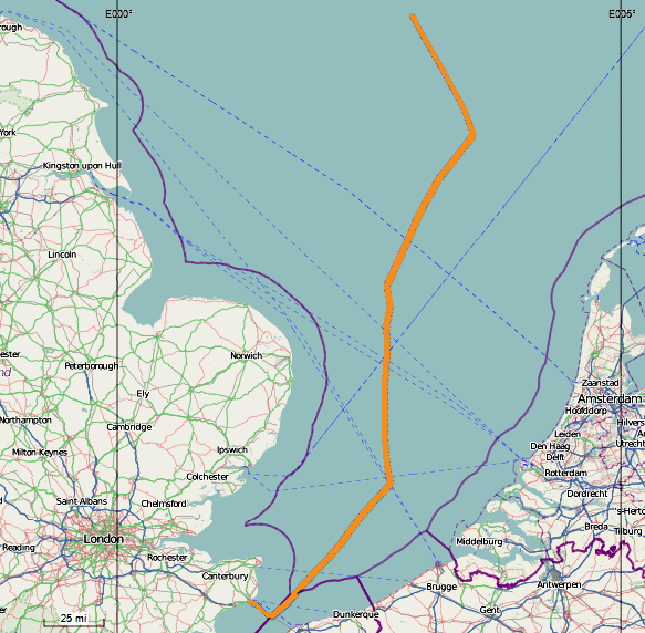
 This map shows our track from when we left Dover yesterday until 7:40 this morning.
It seems strange that we have gone so far out into the North Sea, but maybe it is so we can
run a straight course on auto-pilot and not have to navigate around oil rigs and wind farms.
 I tried with some shots of the water to use as backgrounds, but only the one on wide angle
worked. My compact will only stop down to f/8 and we were moving too fast so
that even at 1/1250" the specula highlights were like star trails. Perhaps I
should have used a higher ISO.
In the afternoon there was a loud boom, something like gunfire. I
popped out on the balcony but couldn't see anything. I noticed the bridge
wing was extended and they were having a good look from up there. Some one
thought it was a sonic boom, I though it might have been a log or a plank hitting the
sides. Whatever it was, it didn't seem to affect us and we ploughed
on.
|