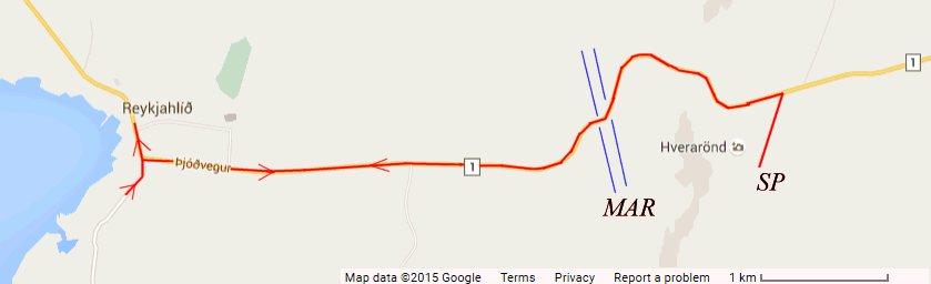
Our excursion here is to visit Godafoss and Lake Myvatn. We did a complete circumnavigation of the lake with stops on the way. We had a short sightseeing tour of the town as we drove down to the bottom of the fjord to cross to the other side and initially head up north before turning right to climb over the mountains. You can see the route on this map. There is a second map which cover a bit to the right where we went to the Sulpur Pools. The letters on these maps represent the stops at the points of interest and are as follows:-
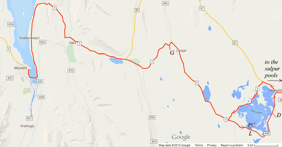
| G | Godafoss |
| PC | Psuedo Craters, Skutustadir |
| L | Lunch |
| D | Dimmuborgir, lava labyrinth |
| SP | Sulphur pits, Namaskard |
| MAR | Mid-Atlantic Rift |
HAL's excursion description "Begin with a drive along the coast of Iceland’s longest fjord, Eyjafjörður, with an excellent view of Akureyri and its surrounding mountains. After crossing Víkurskard Pass, you will view Fnjóskadalur valley, where geological remains of glacial and post-glacial times can clearly be seen. The first major stop is by Godafoss—the waterfall of heathen gods and one of the most spectacular waterfalls in Iceland, The Skjalfandafljot River falls from a height of 36 feet over a breadth of 100 feet. From Godafoss you’ll drive directly to the Lake Myvatn area, stopping by the craters at Skutustadir before. After lunch visit the Dimmuborgir lava labyrinth, a paradise of towering lava castles, natural arches and countless unexplored grottos. The last stop is at the gurgling purple and yellow sulfur cauldrons at the high-temperature thermal field of Namaskard. These are so hot that they actually boil. Head back to Akureyri with short sightseeing tour of the town."
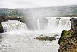 Our first stop, after quite a lengthy drive was Godafoss. The coach pulled off the road and up to the alighting car park at the falls to let us all off for our photo shoot. The energetic could then walk back along the river to see a second smaller falls by the gift shop where we would meet up. The lazy ones amongst us, and the less fit, got back on the coach to drive a
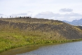 couple of hundred yards to the main car park where we got out to visit the gift shop and take photos while we waited for the others. Once we were all assembled again, and had had our comfort break, we continued on for another lengthy drive to the Hotel where we would have lunch. We ate in the "L" shaped building which is not identified. The other hotels around get varied reviews I notice, but our meal of smoked trout was delicious. Before lunch though, we had crossed the road to visit the "lunar landscape" of pseudo craters at Skutustadir. Note that, according to Google, these craters are quite a distance from Skutustadir proper, which is only a few buildings.
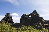 After lunch our next call was at Dimmuborgir where there were interesting lava formations. Here we were given the opportunity to wait at the cafe if we thought we might not manage the climb back up. In fact the climb from the car park to the cafe was pretty steep and the hardest part. As I found walking painful (a sprain) I elected to miss this bit, but Carol wanted the chance to get some good photos and went with the group. When she got back she was rather cross, and hot, as it had been like a forced route march. Every time Carol stopped to take a picture the rest had disappeared from sight. Once, when she caught up, she found a fork in the path with no one anywhere to be seen. Luckily she recognised the guides voice, when she could hear her describing the 13 Santas. Carol was not pleased, but an ice cream helped, (yes it was warm, we had good weather again). We continued past what had looked like a big mountain from our last stop, but we could now see was an old volcano. Then we turned right, but still on route 1, and went past a blue lagoon (not the famous one), which is part of a thermal electricity plant I think, the map has it marked as "Green Solutions". If you scroll down a bit on this image you will see there is a nature baths marked.
 Just a bit further on,
 at a bend in the
road, we were told we had just crossed from America into Europe. About half
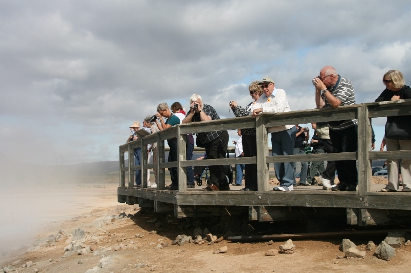
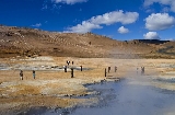
a mile further on we came to our final stop, the stinking mud and sulphur pits at
Hverarönd , just below mount Namaskard. Many complained of the smell, but it was not that bad; after a while you could get used to it. It was a very beautiful place in the sunshine, the colours were just amazing.
 This is a
few clips from the visit. I found out today (2 Oct 2010) why all my video
looks fuzzy and out of focus, I had the camera on the manual focus setting by accident. Now we will just have to do the 2011 trip, (we actually
did Top of the World, Fire & Ice on the Ocean Princess). When we returned
to the lake, we turned right instead of left and so continued our circuit of the
lake. The north side is a nature reserve we were informed and you are not
allowed to stop, or get out of your car. So lets hope we don't get a
puncture here. It was a long drive back to the ship, and this in fact was
a draw back to this excursion, just too much on the coach in relation to the
stops. The problem is all the interesting places to visit are quite a
distance from the port. It would be nice to do self drive here, with a two
day stop, using one of the hotels by the lake overnight. Perhaps the tour
would have been better with more time; as it was we were back on board long before
"gangplank up".